Il tuo carrello è attualmente vuoto!
Services
Leverage the innovation of Artificial Intelligence and geospatial analysis
Discover the range of our services, designed to guarantee quality, accuracy and satisfaction.
Predictive Analytics
This service uses artificial intelligence to anticipate scenarios and support your decisions.
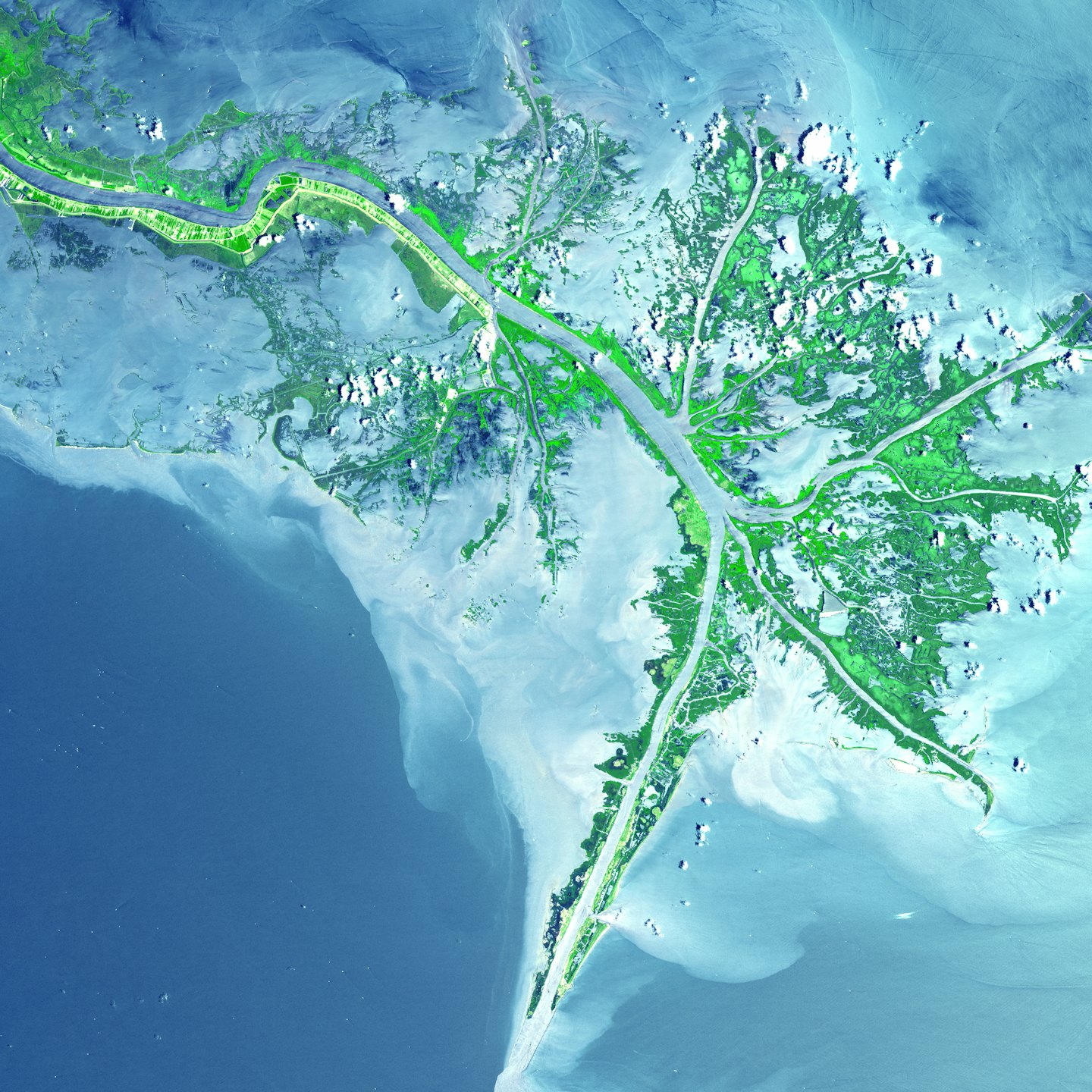
Environmental Monitoring
This service provides detailed satellite data for effective management of natural resources.
Territorial Optimization
This service is designed to improve urban planning and land use.
Geospatial solutions for strategic decisions
Discover how XSensee combines satellite sensing and artificial intelligence to deliver advanced spatial analytics and unparalleled decision support.
Predective Analysis
Use AI models to anticipate scenarios and improve planning.
Real Time Monitoring
Observe environmental and territorial changes with instantly updated data.
Data integration
Connect different geospatial sources to obtain a unified view.
Risk Assessment
Identify critical areas with detailed analysis based on geospatial data.
Advanced Satellite Solutions
Join us to take advantage of cutting-edge geospatial support.