Il tuo carrello è attualmente vuoto!
Information
Innovative solutions for data-driven decisions
XSensee combines satellite technology and artificial intelligence to support companies in strategic planning, inspired by precision, innovation and sustainability.
Unleash the full potential of XSensee with AI
Discover key data and detailed analysis to improve performance and strategic decisions.
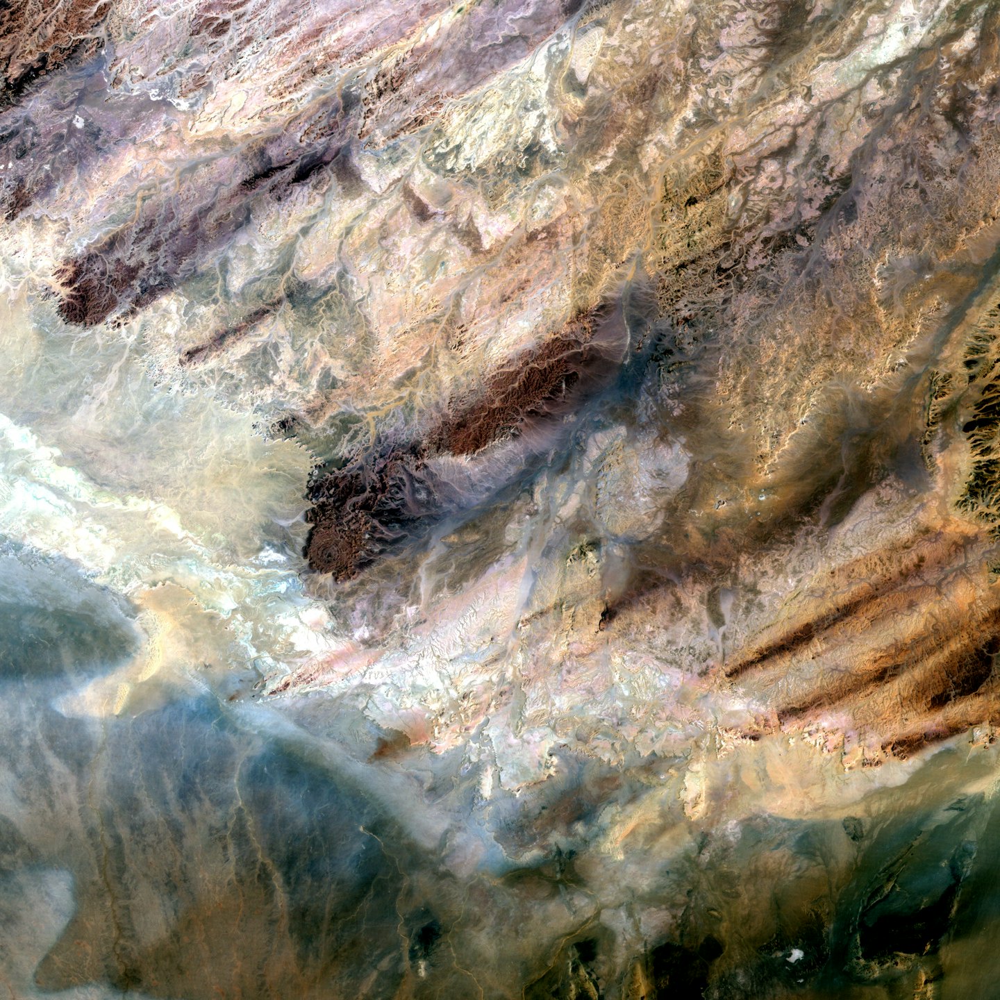
Super Resolution
Improve Precision
Improve multispectral imagery resolution by a factor of 10, dramatically improving performance.
Time Series
Learn and Drive
Recognize temporal patterns and helps you to discover critical situations or opportunities for your business in time.
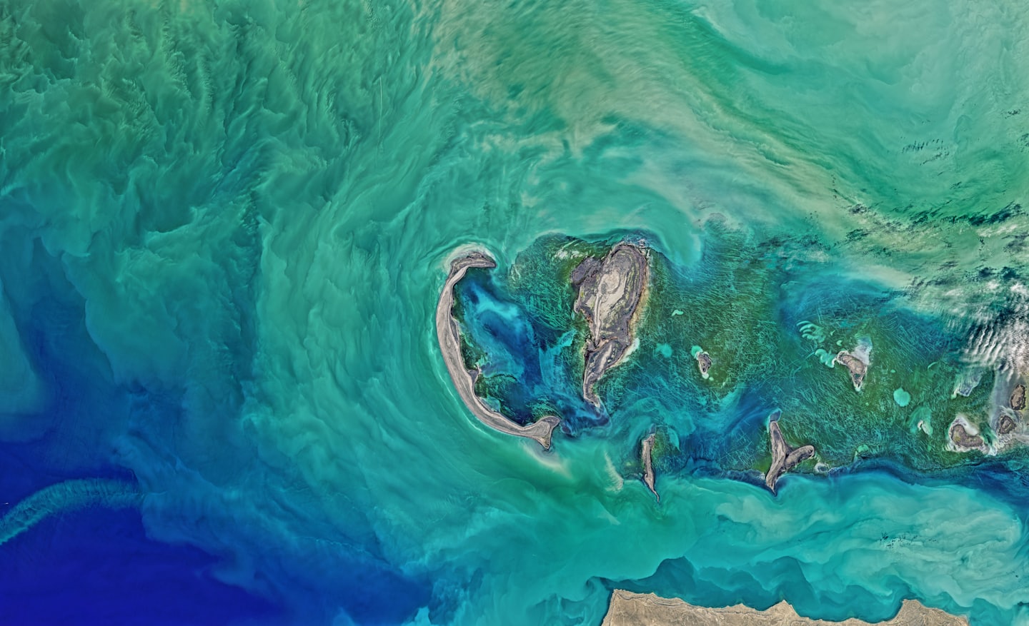
Multispectral
Look the invisible
Go beyond the visible and increase your ability to monitor and predict your environment.
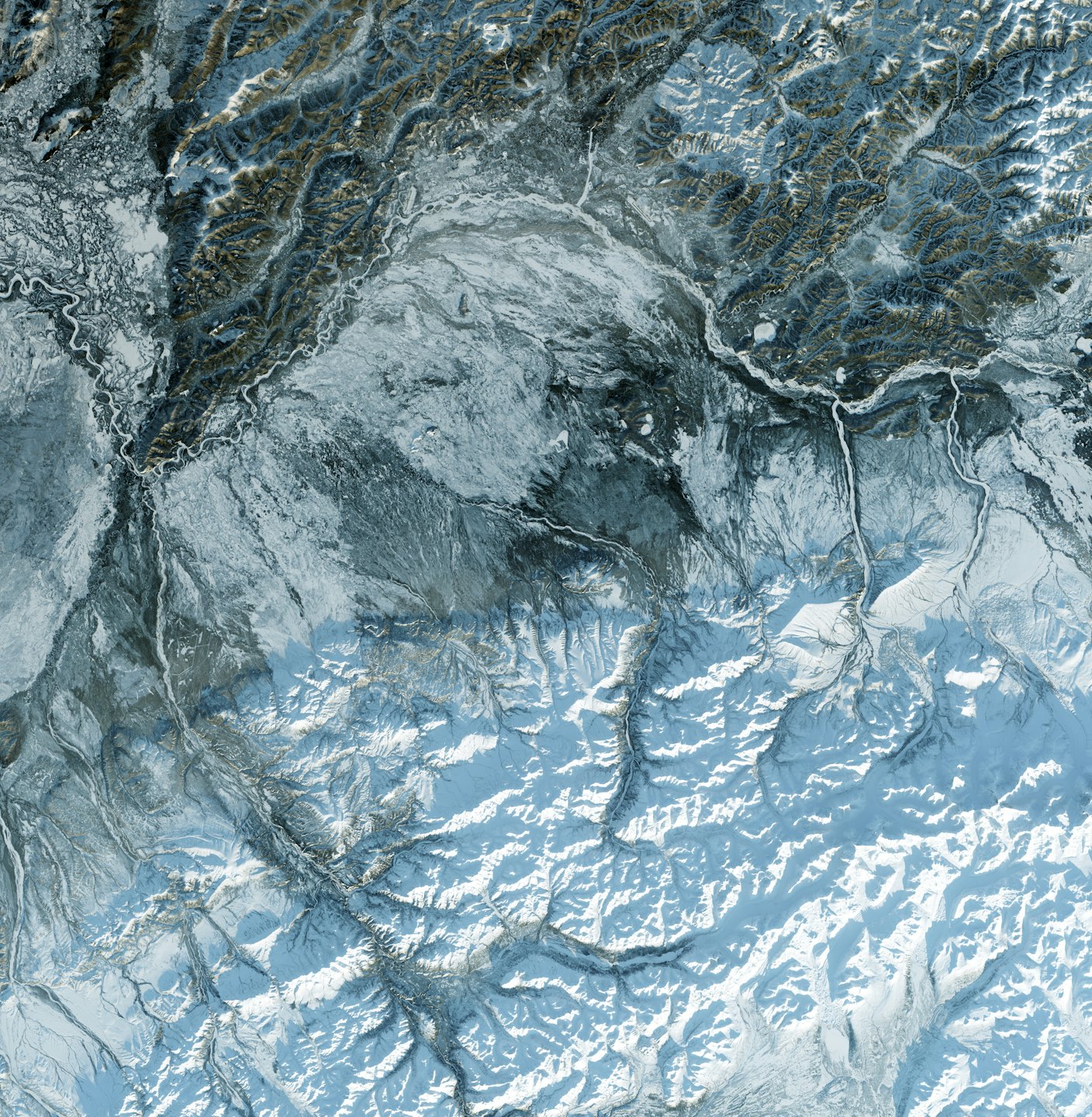
InSAR
Land Monitoring
Monitor and control millimetric changes in infrastructure and land.