Il tuo carrello è attualmente vuoto!
XSensee: innovative solutions for strategic decision based on geospatial data and artificial intelligence.
Decisions based on geodata and advanced data analysis
Geospatial solutions for strategic decisions
Discover how XSensee combines AI and satellites for advanced analytics.

Predictive Analytics
Identify future trends with accurate predictive models.
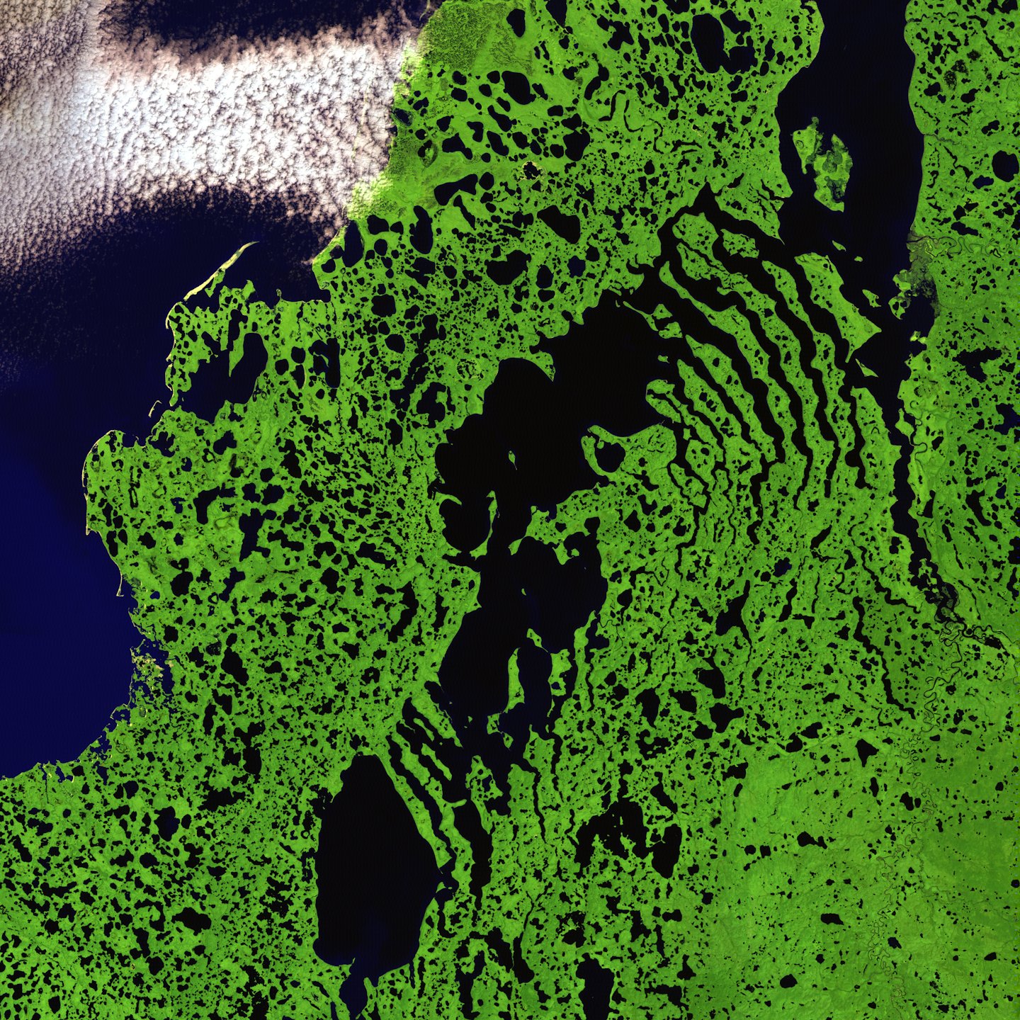
Environmental Monitoring
Optimize processes and protect natural resources with satellite data.

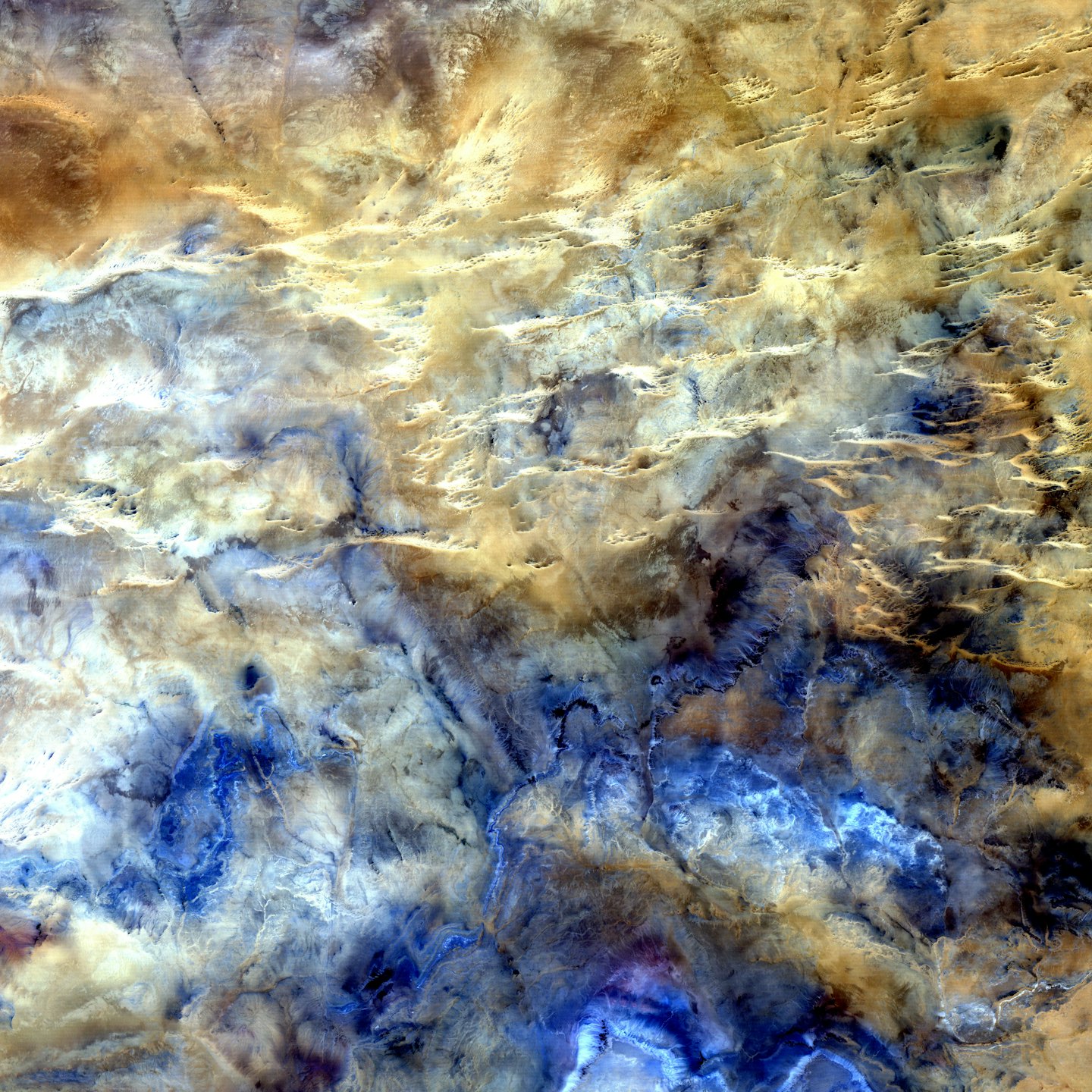
Advanced Mapping
Create detailed maps to support complex operation.
Land Management
Plan land use with precision tools.
Leverage XSensee AI for faster decisions
XSensee combines innovation, reliability and sustainability to revolutionize geospatial decision support and drive business success.
Explore new frontiers with advanced geospatial analysis
Discover our range of innovative services, designed to meet your every need with quality and precision.
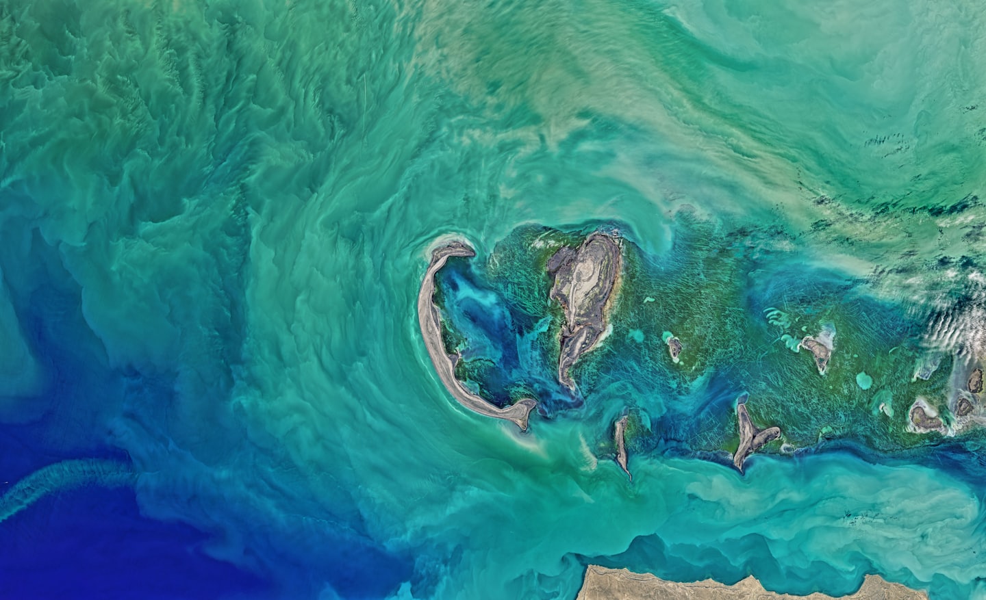
Satellite Analytics
This service combines satellite data and artificial intelligence for strategic decisions.
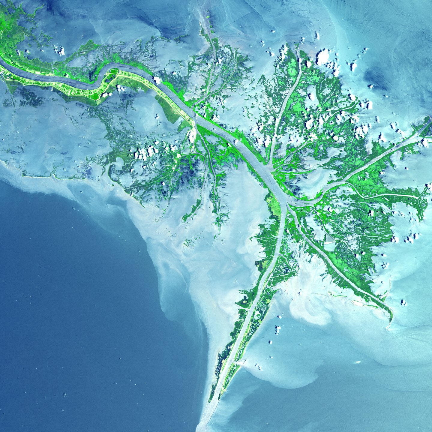
Territorial Monitoring
This service offers detailed maps and real-time updates for your sector.
Planning
This service supports urban and renewable energy planning with precise and sustainable analyses.
Transform satellite images into winning choices
Unlock the Power of Geospatial Intelligence
Explore our plans and discover solutions tailored to your needs.